Hazard Trees
(What do the marks on the trees mean?)
Everything the cabin owner needs to know about hazard trees
The special use permits we all signed make us responsible for any tree on or off our lot that might fall and damage our cabin, deck, shed, or other improvement on our lot.
PG&E Responsibility Trees
However, if the tree could fall on a PG&E primary line, then PG&E will remove the tree. Power lines going to a single cabin are not considered primary lines, but…
- If the line comes off the main pole and then splits to serve two or more cabins, the part before the split is considered primary and PG&E will take trees that might fall on that part.
- Use PG&E’s Report It app for secondary lines. These reports go to the construction side of PG&E. They would rather take care of the tree before it falls. If it falls and takes down the line, there is then live power on the ground and they need to take care of it ASAP. Depending on the situation, the construction side may not take care of the tree but we’ve been told most of the time they do.
Markings
PG&E’s contracts mark hazard trees with an X. There are five colors that they use. Each years gets a color. Sometimes there a number near the X. That is the diameter. It is used to help the contractors cutting down the tree identify which tree.
-
- 2023 – White (mostly cut down)
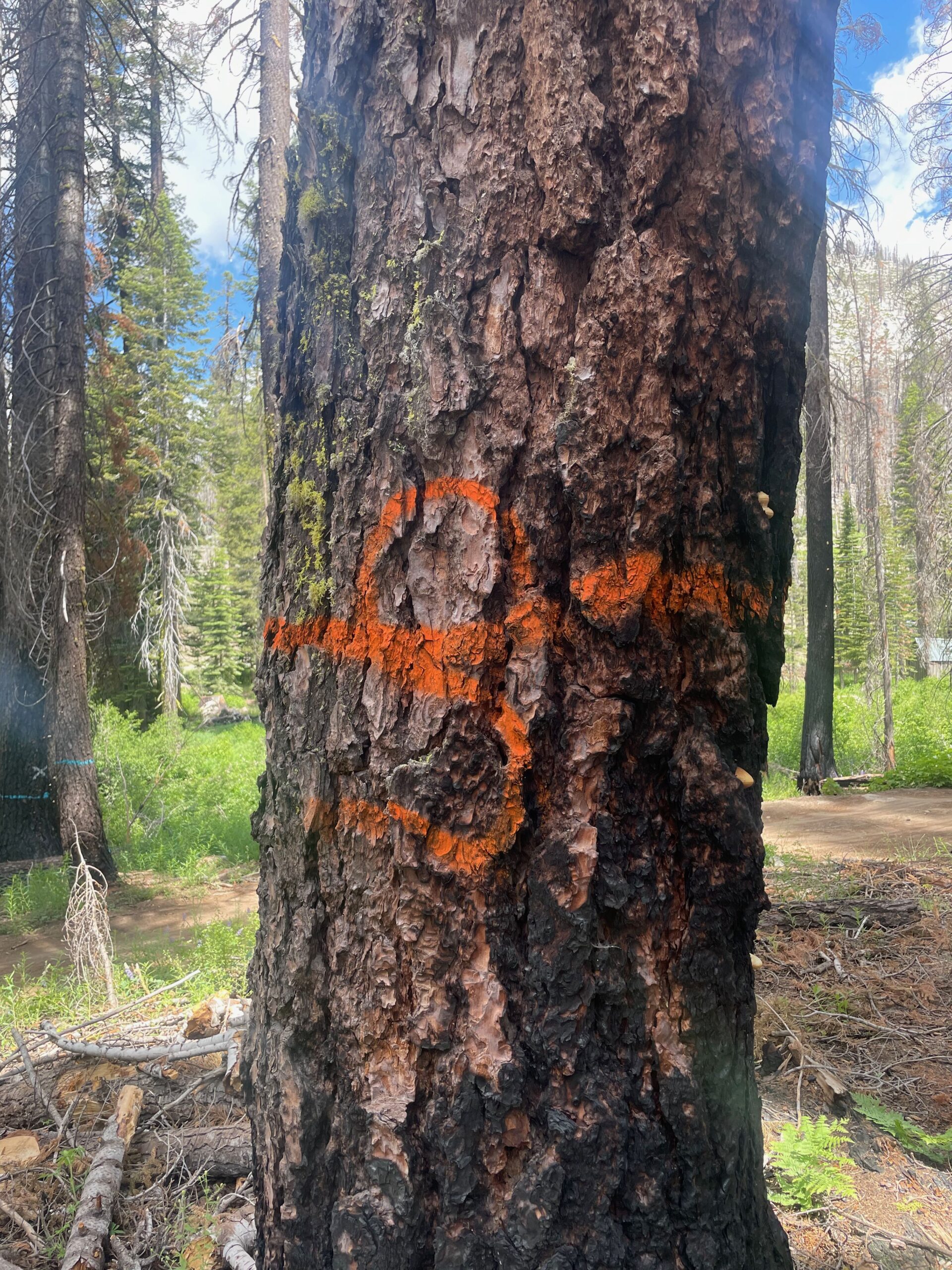
- 2024 – Red/orange
 (mostly cut down)
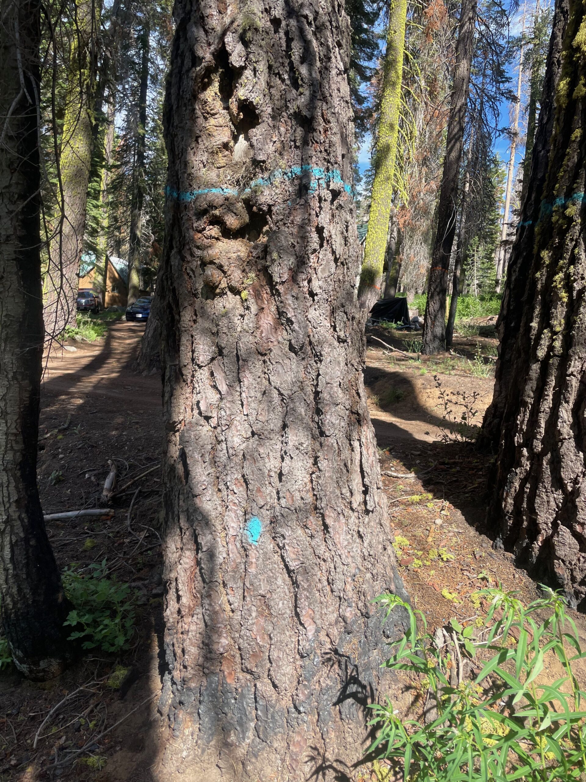
 - 2025 – Sea foam green (it looks more blue than green)
 (they hope to cut these down this year, ’25)
RCD Responsibility Trees
After the Caldor Fire, the Forest Service, FS, issued a contract to the El Dorado County Resource Conservation District, RCD, to fund the Eldorado National Forest Roadside Hazard Abatement Program Project. RCD’s contractors have marked many trees in the Caldor Fire footprint. Dead or dying trees less than 14″ across at shoulder height are not marked but will be removed. RCD has a Dashboard to show progress. The original scope was to take care of hazard trees within 200 feet of FS roads in Eldorado NF. However, there is not enough funding to complete the entire project. The FS has asked RCD to convert some replanting money to do more removal. There is a chance trees in Aspen, Bryant Creek and some in Sayles will be felled this year, ’25.
OK, I have a tree that neither PG&E nor RCD will take, now what?
Get permission from your permit administrator for you or a contractor to fell the tree
- Placerville District – email sm.fs.pvl-rec-res@usda.gov Include a picture, the diameter at shoulder height, the approximate height and species if known.
- Pacific District – email jack.lucido@usda.gov or call 530-644-2349. They will come out and mark the tree(s)
- Amador District – email colleen.sloan@usda.gov or call 209-259-3774. They will come out and mark the tree(s)
- LTBMU – details coming soon
PG&E and RCD Hazard Trees Markings
Notes:
- There are many inconsistencies in how trees have been marked and different shades of colors.
- For trees near Highway 50 CalTrans is responsible. If you have a picture of their markings please send it to paul.hugo@gmail.com
- In general, every tree marked is put into a database with GPS coordinates. Which means “unmarking” or marking extra trees is likely to be noticed and ignored
- These are primarily for the Placerville Ranger Station, but may apply also to Pacific and Amador
Click the image to enlarge
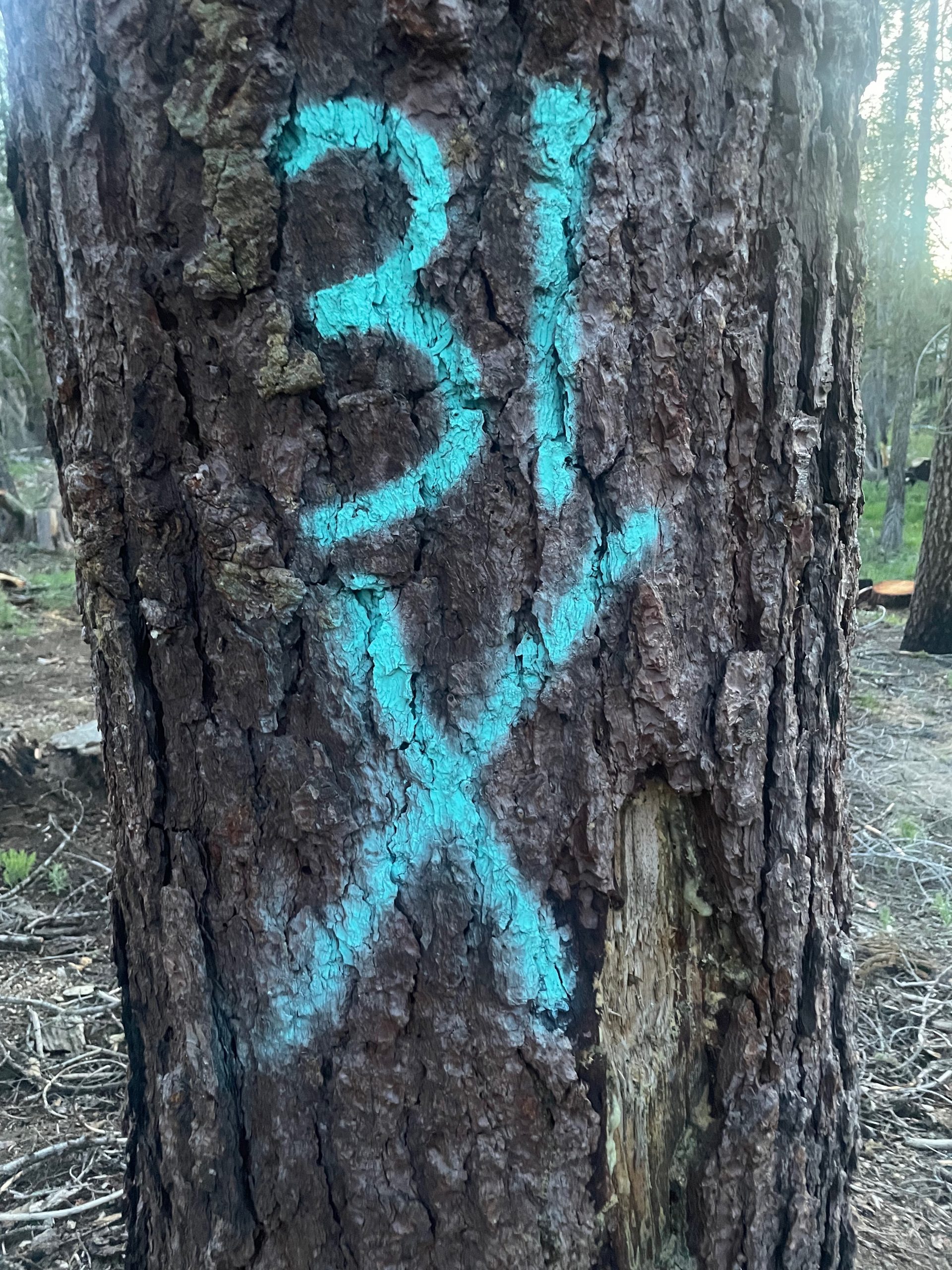
’25 PG&E “Sea Foam Green”
PG&E Tree. “Sea Foam Green”. Most likely will be felled ’25. The 31 is the diameter.
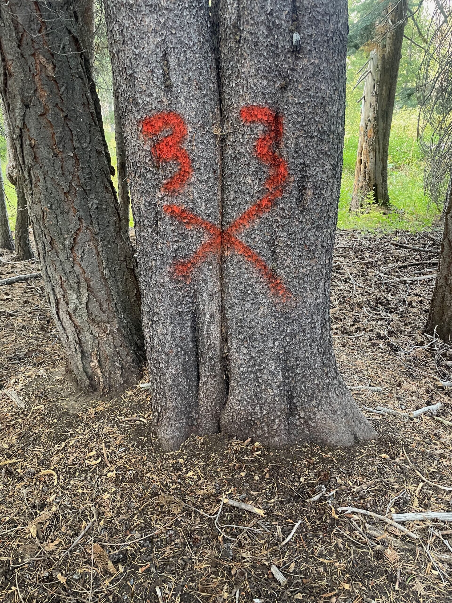
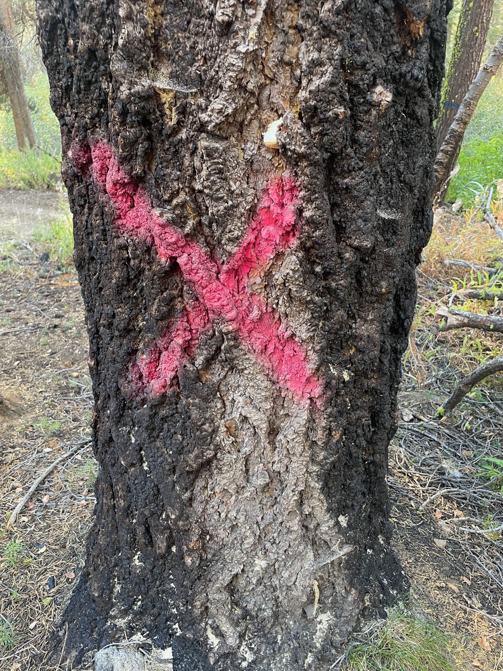
’24 PG&E tree with red X
Marked in ’24 to be felled summer or fall of ’25. The 33 is the diameter.
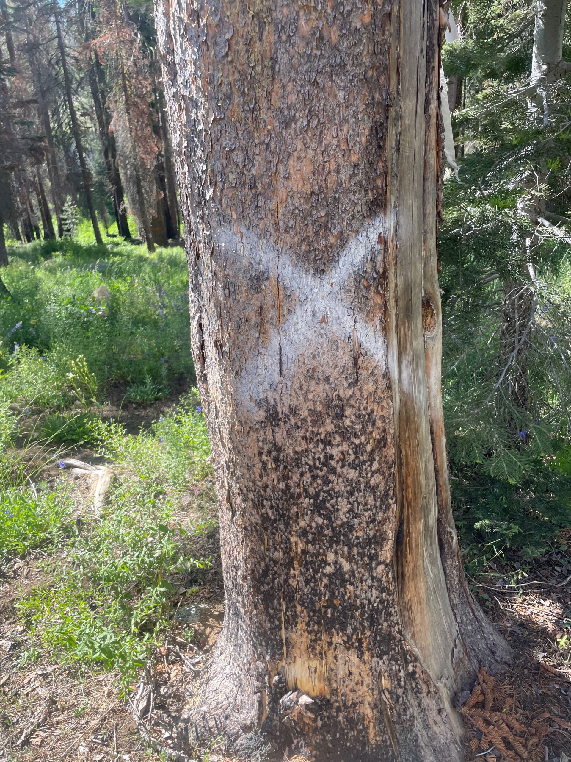
’23 PG&E White X tree
PG&E tree. Marked in ’23. Mostly likely will be felled and removed summer of ’24
PG&E construction tree with magenta X
Trees marked by the construction side of PG&E. They will be adding a new power pole. Not sure when the trees will be felled
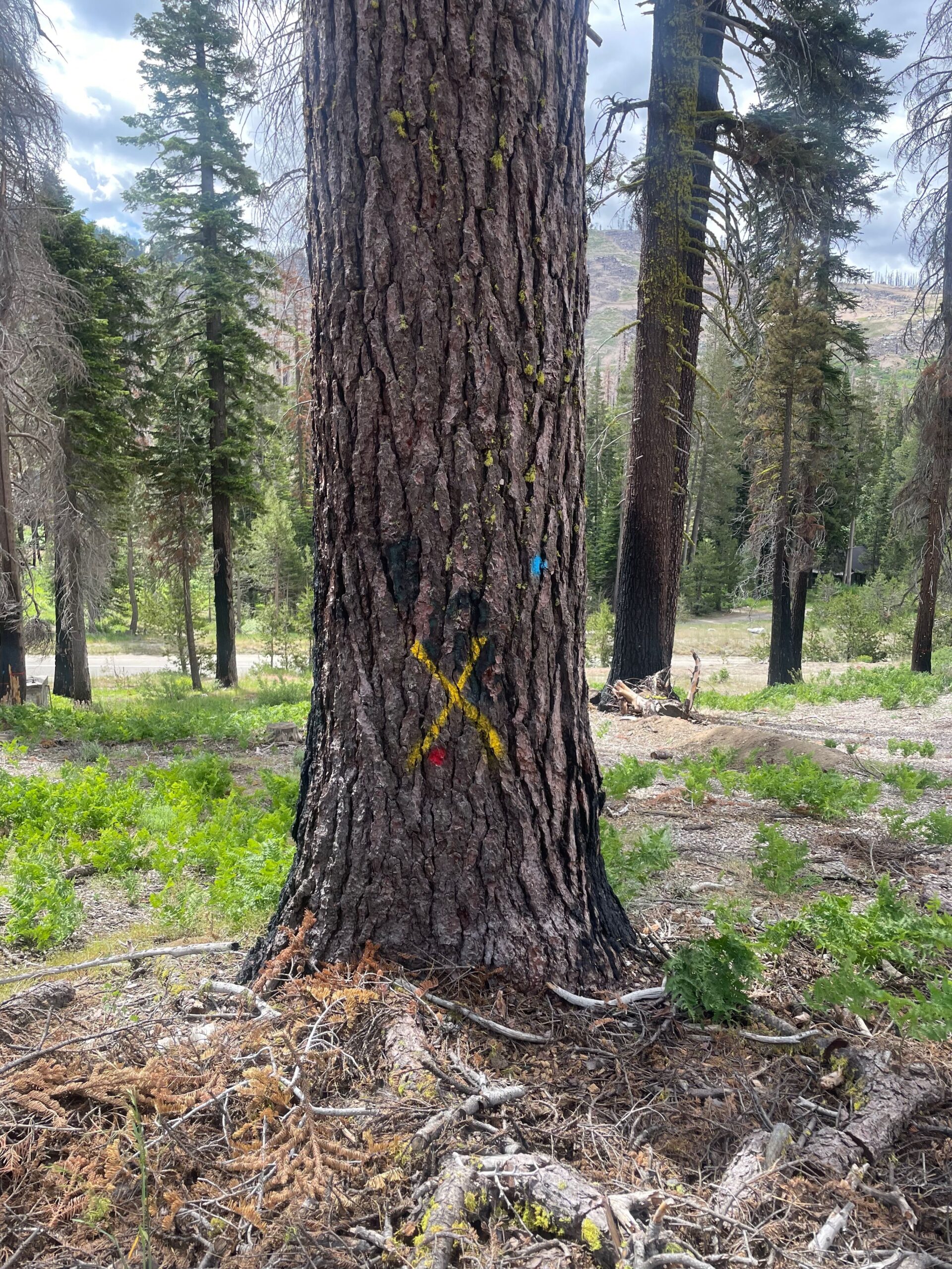
PG&E late season, yellow tree
Yellow signifies it was marked fall or winter. Most likely the tree wasn’t dead yet when they marked trees in the summer or they missed it. It will most likely be removed the next summer, but it could be the summer after. Some trees are identified in the winter by helicopter and then marked yellow after the snow melts. They use yellow every year so we can’t tell which year it was marked.
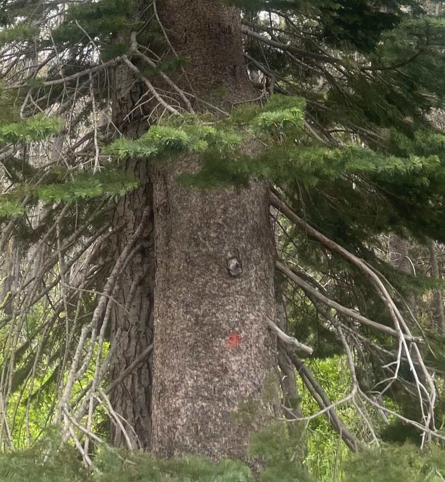
PG&E dot. Near power lines Trim
Dot (of various colors by year) means to trim the tree below and around the nearby power lines.
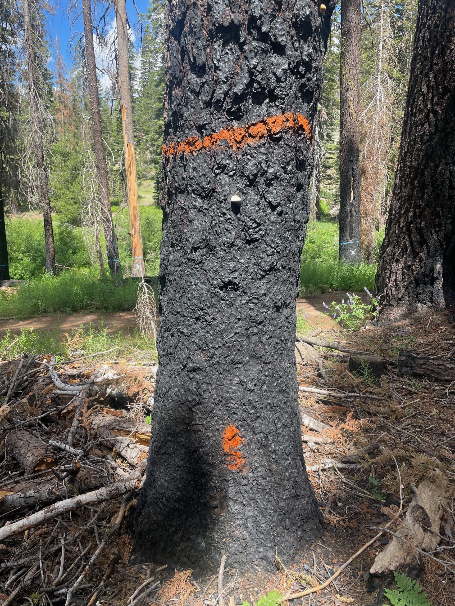
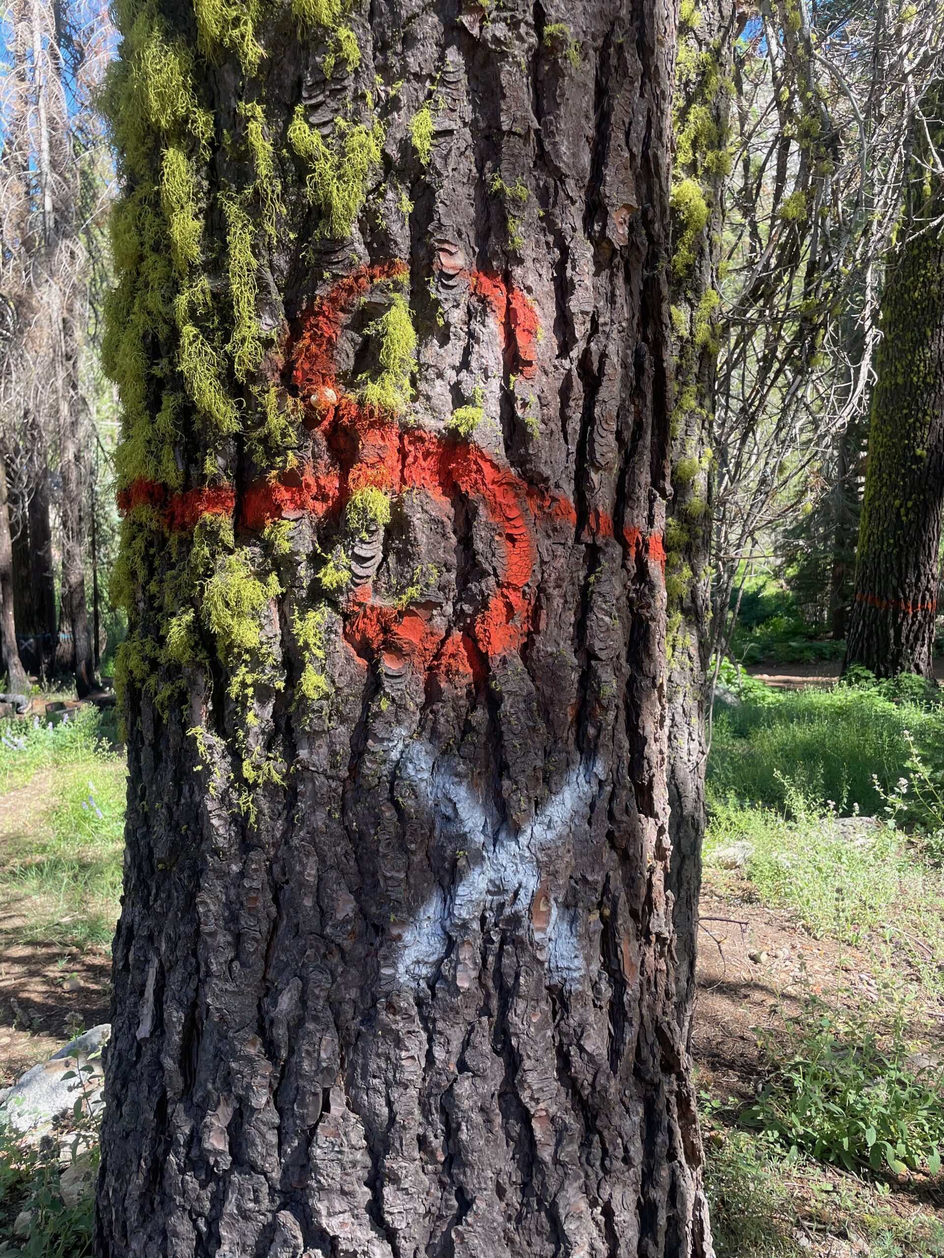
RCD orange ring remove
The orange ring marks the tree for removal. The orange dot at the bottom is a butt mark so they can from the stump after the tree is removed who removed the tree and why.
RCD Blue Ring, near water tree
Blue ring marks the tree for removal. Blue used for trees near rivers and streams
RCD Remove, Special Circumstance Tree
The S indicates this is a special circumstance tree. This means it’s probably near a cabin and will require a crane or climbing. These are not funded to be removed.
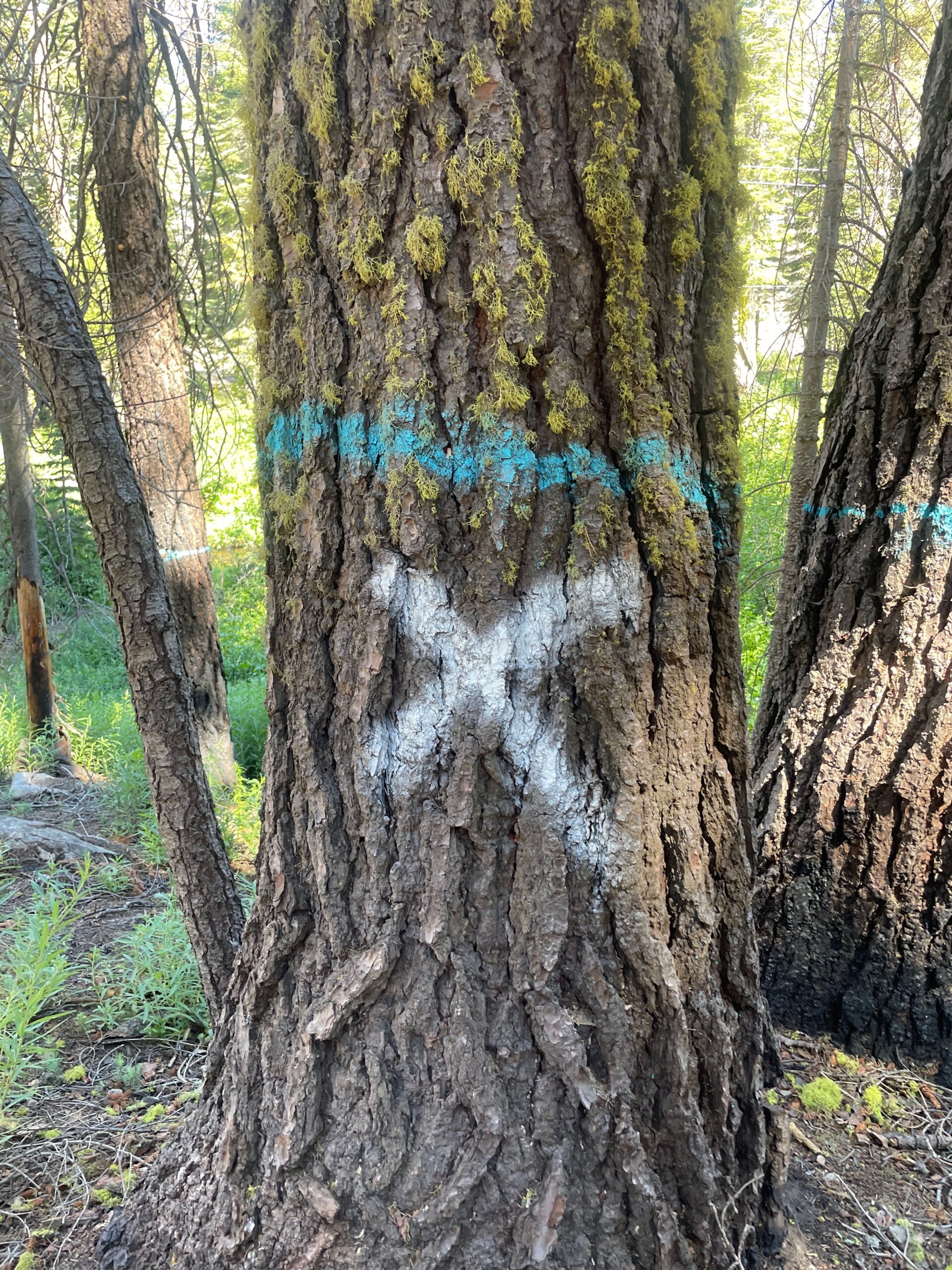
PG&E White X plus RCD blue ring
This tree is marked by both PG&E and RCD. PG&E will fsll this tree probably the summer of ’24.
PG&E White X RCD orange ring with “S”
PG&E tree with the white X. RCD also marked the tree with the orange ring and the S for special circumstances. It’s next to a cabin and would need to have a crane or be climbed. PG&E should remove the tree summer of ’24.
PG&E Contractors
|
|
Tree assessment and marking contractor, ’24 |
|
Tree Service Unlimited |
RCD and RCD’s subcontractors
|
|
|
| Sierra Valley Enterprises LLC, SVE – RCD’s prime contractor for the Roadside Hazard Tree project | |
| One of SVE’s subcontractors for tree removal |